
Ash Class
This term, Ash Class have been developing their mapping skills. We have looked at the 4 and 6-figure grid reference points and used these to plot a route using an Ordnance Survey (OS) map. Our next step was to follow this route and complete a local area walk.


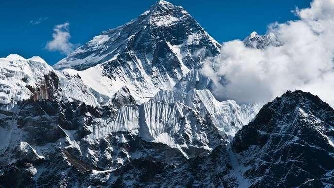
To start our learning, we looked at Google Earth to find Mount Everest.

